
Singletile · Print to order
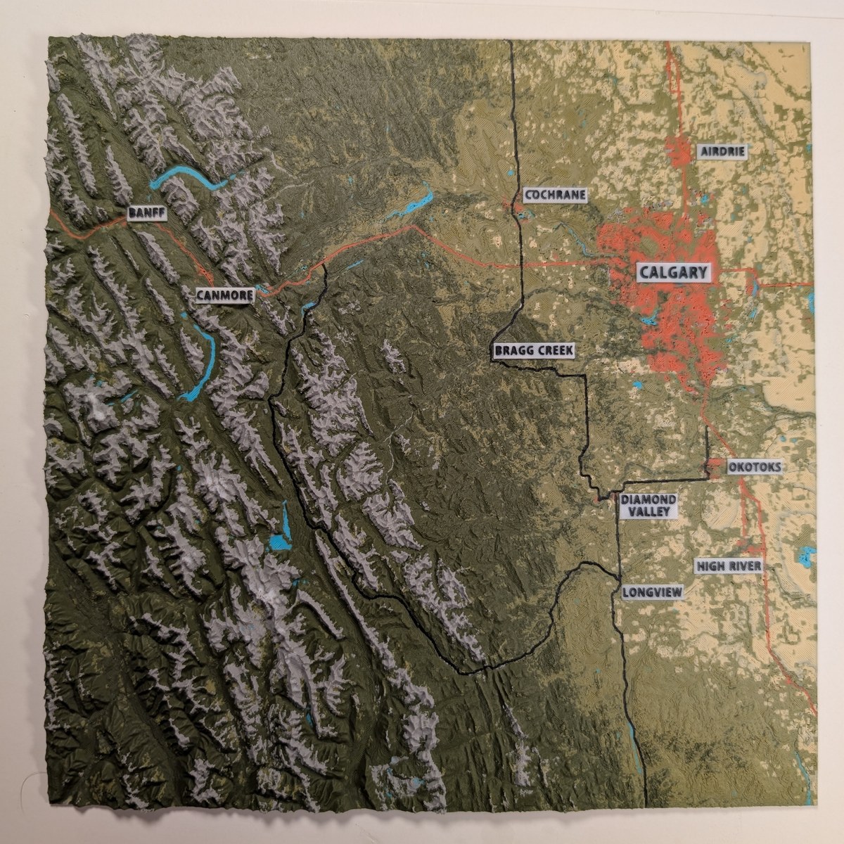
Labelled Map of Calgary-Banff-Kananaskis
Canadian Rockies, Canada
Coverage
150 × 150 km
Print size
195 × 195 mm
Panels
1
$175.00 CAD
Ships within 14 days
About this print
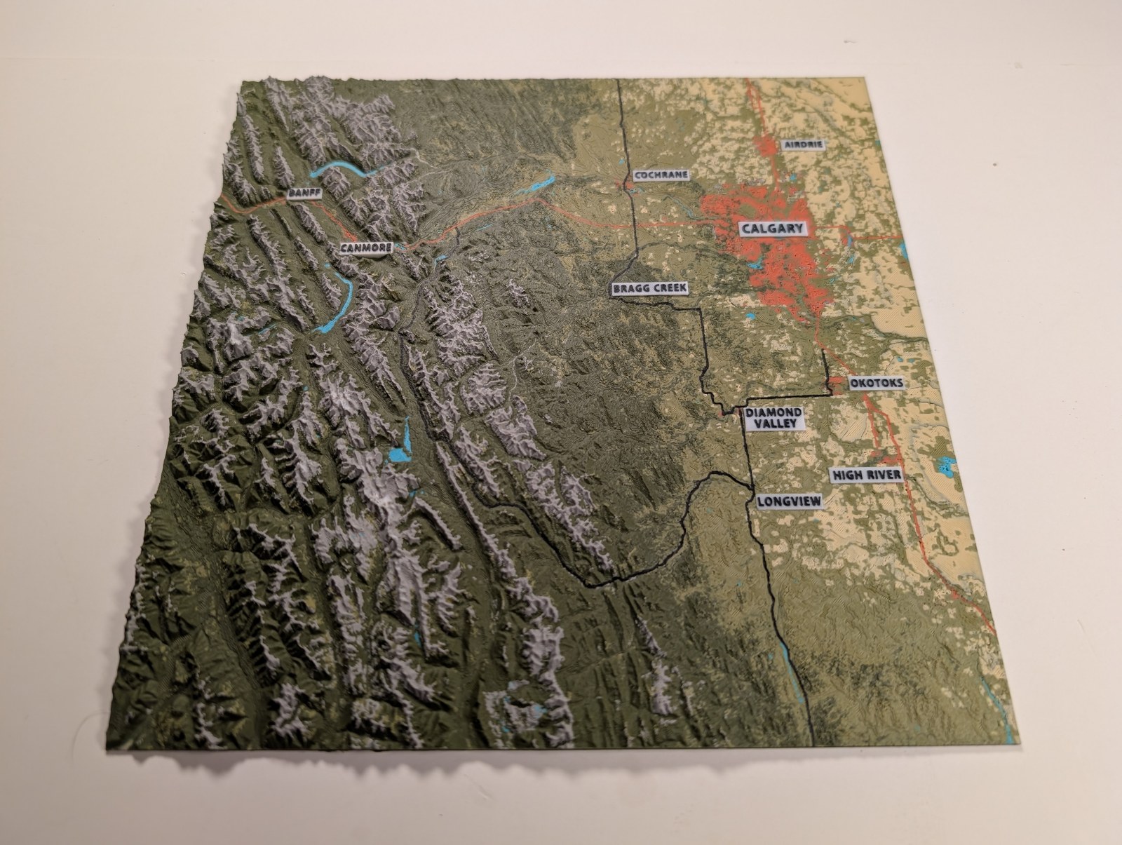
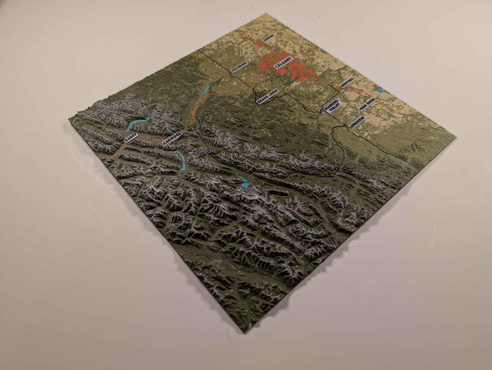
A 150 × 150 km topographic relief map of southern Alberta's most visited terrain — from Calgary and the prairie foothills to Banff and the Rocky Mountain front. Major road corridors are raised and printed on the surface: the Trans-Canada Highway, Highway 2, Kananaskis Trail, Highway 22, and connecting routes. Place names are printed directly on the tile, making this the most navigable map in the TopoFoundry catalogue. At 2× vertical exaggeration, the dramatic rise from flat prairie to high mountain ranges reads clearly at a glance.
Specifications
| Coverage | 150 × 150 km |
| Panels | 1 |
| Assembled size | 195 × 195 mm |
| Print resolution | 0.2 mm nozzle |
| Material | PLA |
| Lead time | 14 days |
| Shipping | Canada, USA, & International |