
About TopoFoundry
Our world in your hands.
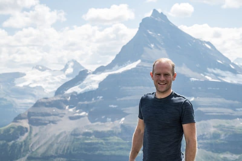
I live in Calgary, at the edge of the Canadian Rockies, and I am equal parts engineer and outdoorsman. When I am not scrambling up remote peaks or skiing down pristine slopes, I am nose-deep in satellite imagery and topographic maps planning my next adventure. When I was introduced to 3D printing and I saw the potential of multi-colour printing as a means to produce terrain-accurate topographic maps, I became obsessed with the idea that I could find a way to combine my passions and find a way to reproduce the beauty of our peaks in the palm of my hand.
As someone who loves our mountains, it was essential that what I print would be an accurate representation of what I experience in the real world. I found that others took shortcuts — defining "treeline ends at 1800 m and snow starts at 2200 m" is easy to design and easy to print, but it does not represent the true tapestry that is the world's surface.
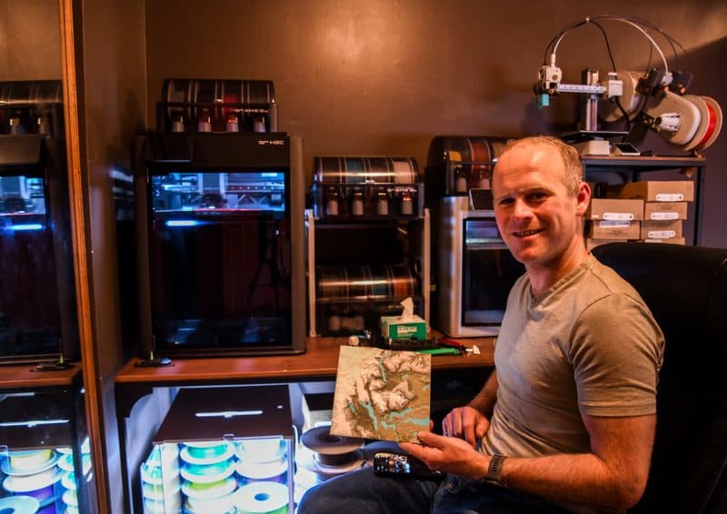
Through much design iteration and multiple printer models, I have developed techniques to produce accurate and aesthetic multi-coloured topographic maps. All full-size prints take multiple days to produce, printed in up to 8 colours at 0.2 mm precision. My design methodology is unique and has gone through significant refinement to reach the level of quality that satisfies my personal standards.
I never intended to make a business from this hobby. I started with maps of Assiniboine, Lake Louise, and the Columbia Icefield — for myself and for my girlfriend. Then a large-format multi-tile map of the entirety of the Canadian Rockies. After encouragement from coworkers, I started designing maps of areas where I do industrial work. Eventually my friends pushed me to share it more broadly.
I don't take half-measures. If you are buying a product from me, it is going to be top-of-the-line — printed at 0.2 mm precision from biodegradable PLA, 36+ hours per tile, and adjusted to bring out the maximum beauty of each area. Where I have applied any enhancements, I am transparent about them (for larger areas, 1.5× vertical exaggeration is often an aesthetic must).
I am constantly expanding my library, but the world is huge and the process is slow. If there is something in particular you want, I am happy to bring your vision to life — start on the custom print page.
Also on Etsy
A selection of catalogue tiles is available in our Etsy shop. See customer reviews and order history there.
See our reviews on Etsy →What to expect
Availability
I have a full-time job, and my love of the mountains and travel means I am not always at my computer and my printer. If I am in the bush, you might not get a response for a few days — but if I didn't spend so much time out there, do you think I would care as much about making these maps perfect?
Lead times
I quote 1–3 weeks because I am often off in the mountains for extended periods of time, and 3 weeks is about the longest vacation I will take. But if I am in town, I will typically get your map shipped within 2–3 days.
Artistic licence
I apply artistic judgement on which features to include, scale, vertical exaggeration, terrain types, and colouring. Critical parameters are listed with each product's specs.
Print quality
All shipped products are guaranteed free of misprints. Some minor artifacts are inherent to 3D printing — for highly varied flat terrain, small "specks" can occur, but this is a normal characteristic of the production technique.